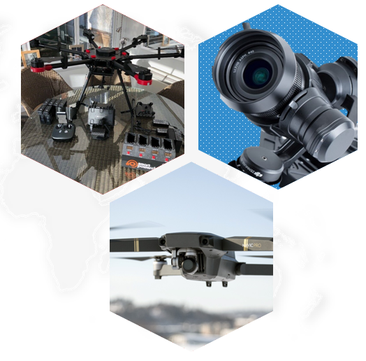
Drone Mapping & Surveys
UAVs / DRONE SERVICES
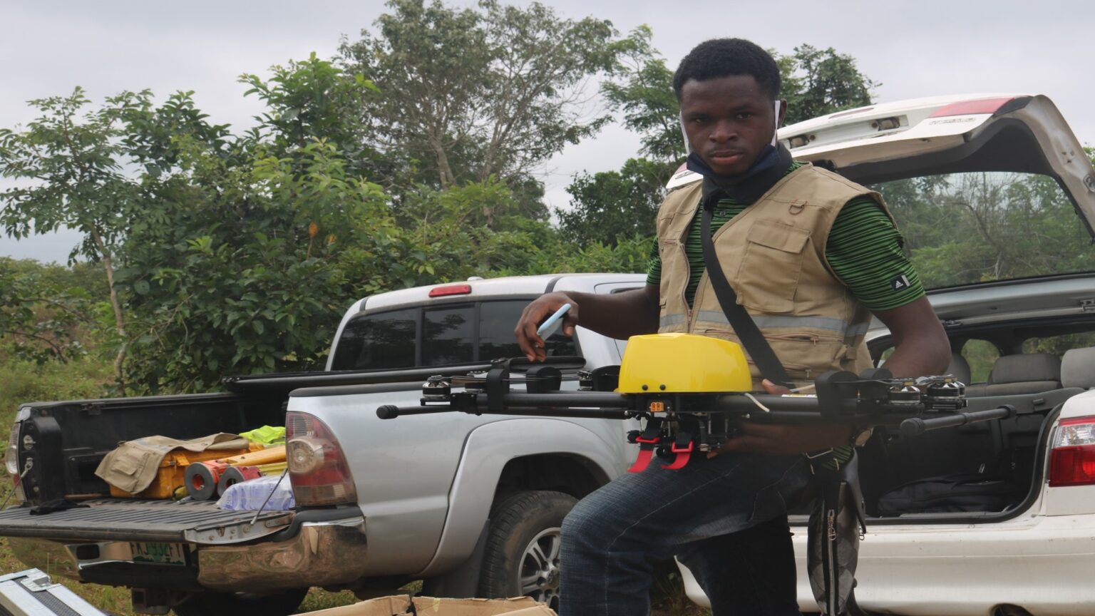
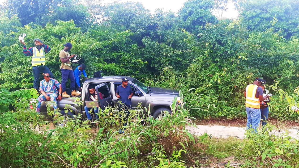
As a company specialized in Planning, mapping, remote sensing and photogrammetry, we provide a wide range of geospatial services ranging from product training, flying training, data collection, data analysis support (post processing) and consultancy. Our process ensure that end products derived from the UAV flight allows for high quality, orthogrammetry and photogrammetry to provide reliable scientific outputs or survey mapping.
When it comes to large scale, ultra-high resolution surveys and mapping, OEA remains your best bet towards deployment of Mapping solutions and a robust mapping experience. With a daily map quota of 800-1000 Ha, our team mapped out 5cm resolution of images across 28,000 Ha of Land in less than 15 days.
Irrespective of the TERRAIN, whatever the SIZE! Our TEAM is always on ground to give you the BEST RESULTS
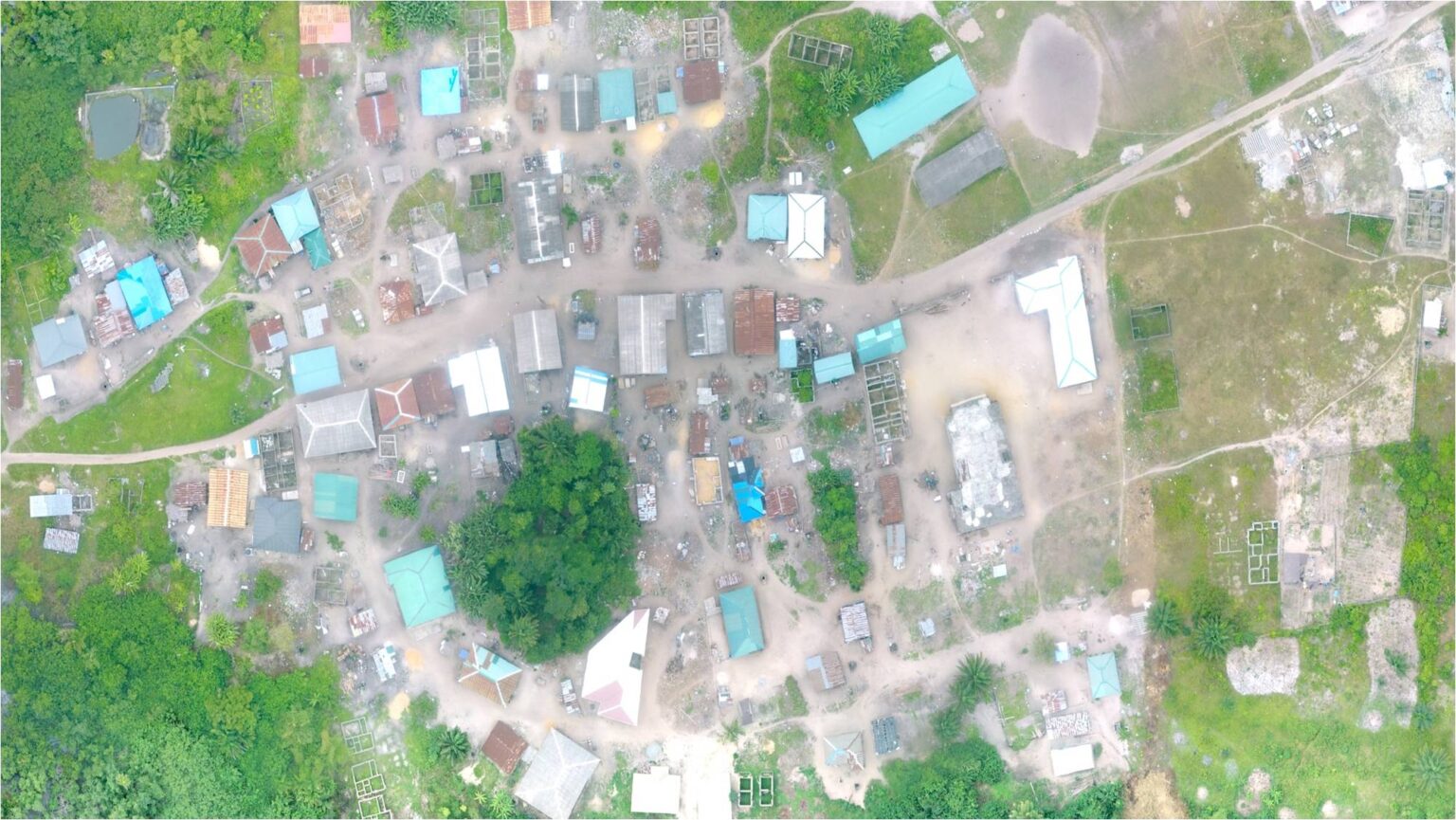
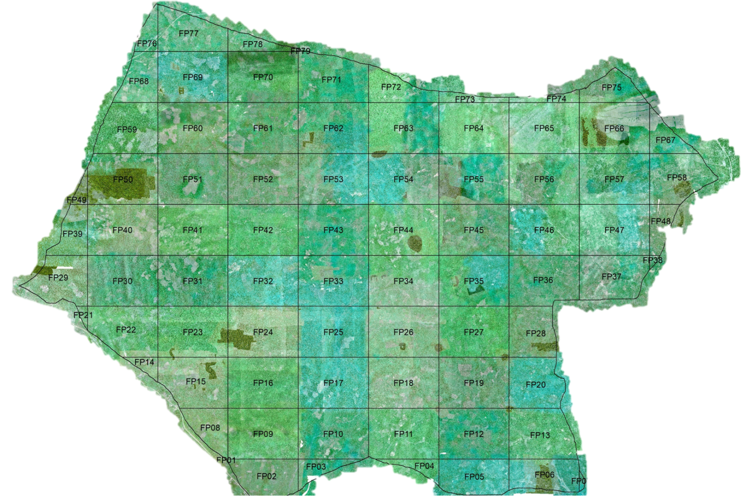
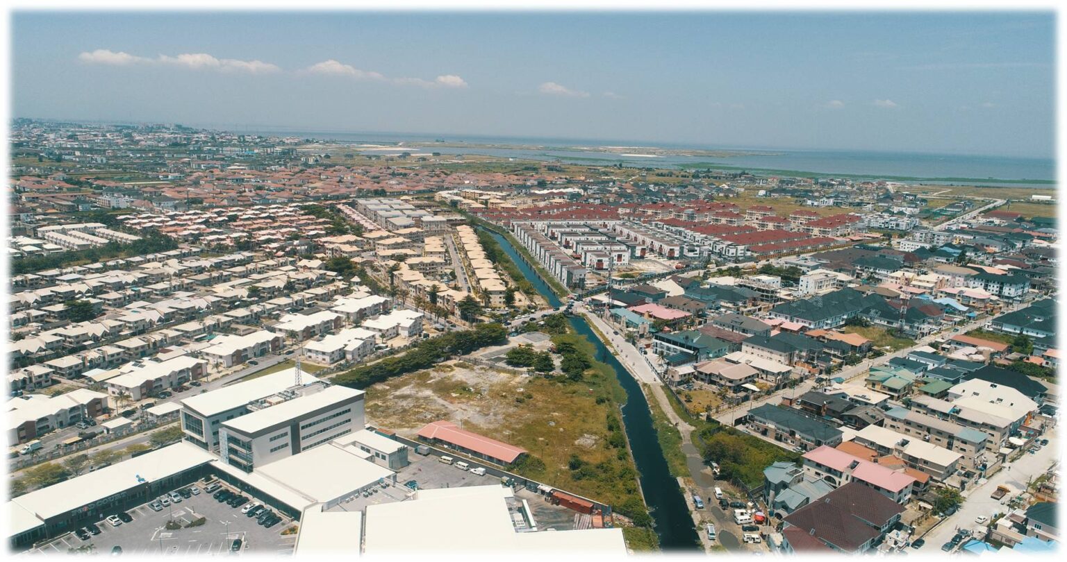
6500 Ha LAGOS MAPPING ASSESSMENT
PROJECT INFORMATION
- 6500 Ha Mapped in 5 Days
- 33206 Images Generated
- 5cm Resolution
- Data Processing in Progress
- Terrain Modelling
- Community Inventory
6000 Ha EKITI MAPPING ASSESSMENT
PROJECT INFORMATION
- 6000 Ha of Highly Mountainous Terrain Mapped in 8 Days
- 20468 Images Generated
- 5cm Resolution
- Data Processed within two weeks
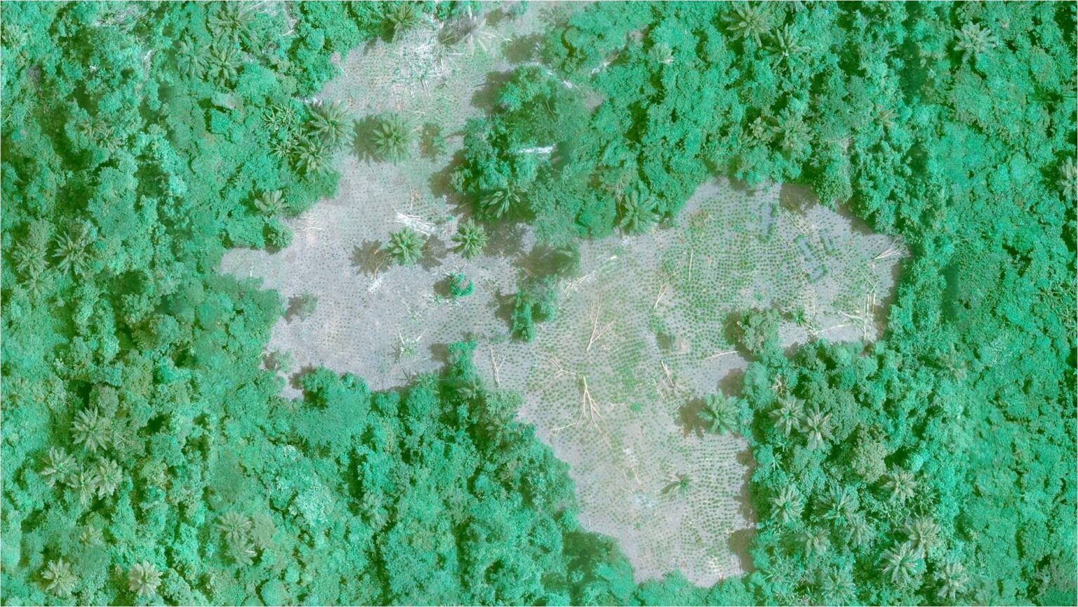
PROJECT INFORMATION
- 5cm Resolution Farm Surveys
- Forest Resources Inventory
- Tree Crown Map
- Terrain Modelling
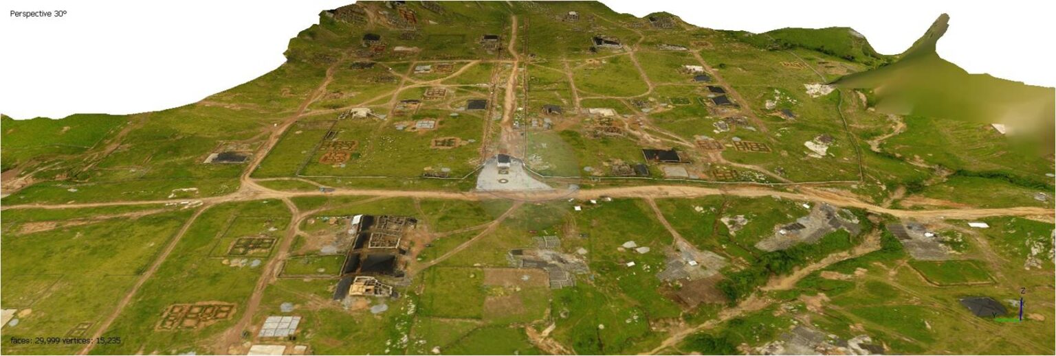
400 HA FHA LUGBE ENCROACHMENT MAPPING ASSESSMENT
PROJECT INFORMATION
- 25 Ha Mapped within 15 Minutes
- Data Processed in an Hour
- Building Footprints Generated
- Terrain Assessment in less than 2 Hours
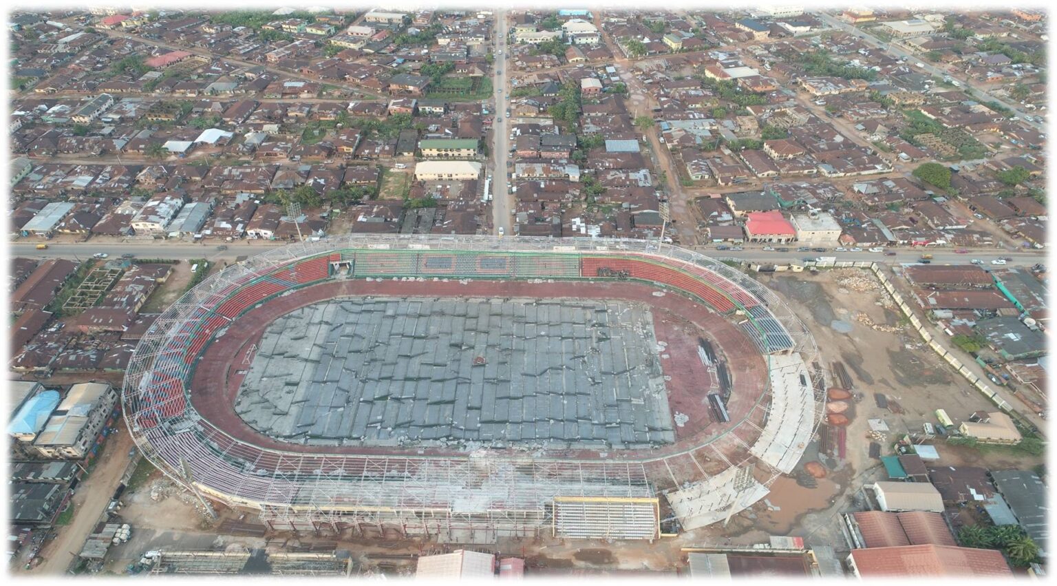
ASSET MONITORING AND INSPECTIONS – BENIN
PROJECT INFORMATION
- 5cm Resolution Farm Surveys
- Forest Resources Inventory
- Tree Crown Map
- Terrain Modelling
