Kartgis Geospatial Solution
We are channeling products and services with the optimal innovation to improve African data collection across scales.
Native Technologies
We offer native location data acquisition technologies (geo-apps, IoT sensors e.t.c) and a growing community of localized data collector specialists
OUR EXPERTISE
Revolutionising the African data ecosystem by acquiring more accurate and native datasets
Geo-Apps
Data acquisition through the use of natively designed geo- application for best location- based surveys and enumeration
Internet of Things (IoT)
Data acquisition with the use of smart sensors deployed within area of interest for real-time data acquisition and monitoring
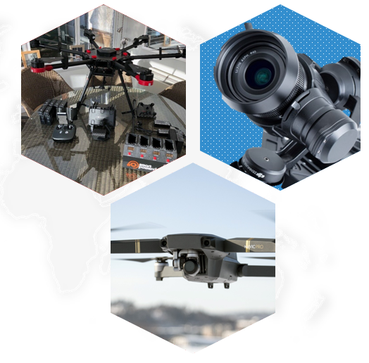
Drones
Data acquisition with the use of drones and unmanned aerial vehicles for high-resolution data capture and processing
Satellite
Data acquired with the use of remote sensing, image processing and analysis
Geo AI
Geospatial Artificial Intelligence built specificall for Geo-spatial analysis performed on acquired location dataset across all mediums
WHY CHOOSE US
Kartgis Geospatial Solution is a forward looking Geospatial company focused on building solutions and services for the 21st century. We connect businesses & decision makers to a world of data and solutions.
VISION
To enable effective and efficient decision making with respect to planning, design and urban development via access to real time data solutions.
PROFILE
We are a Geospatial Data Services and Drone Mapping Firm focused on using innovative technologies to solving societal challenges.
CONTACT US
Do you have any questions? Please do not hesitate to contact us directly.
